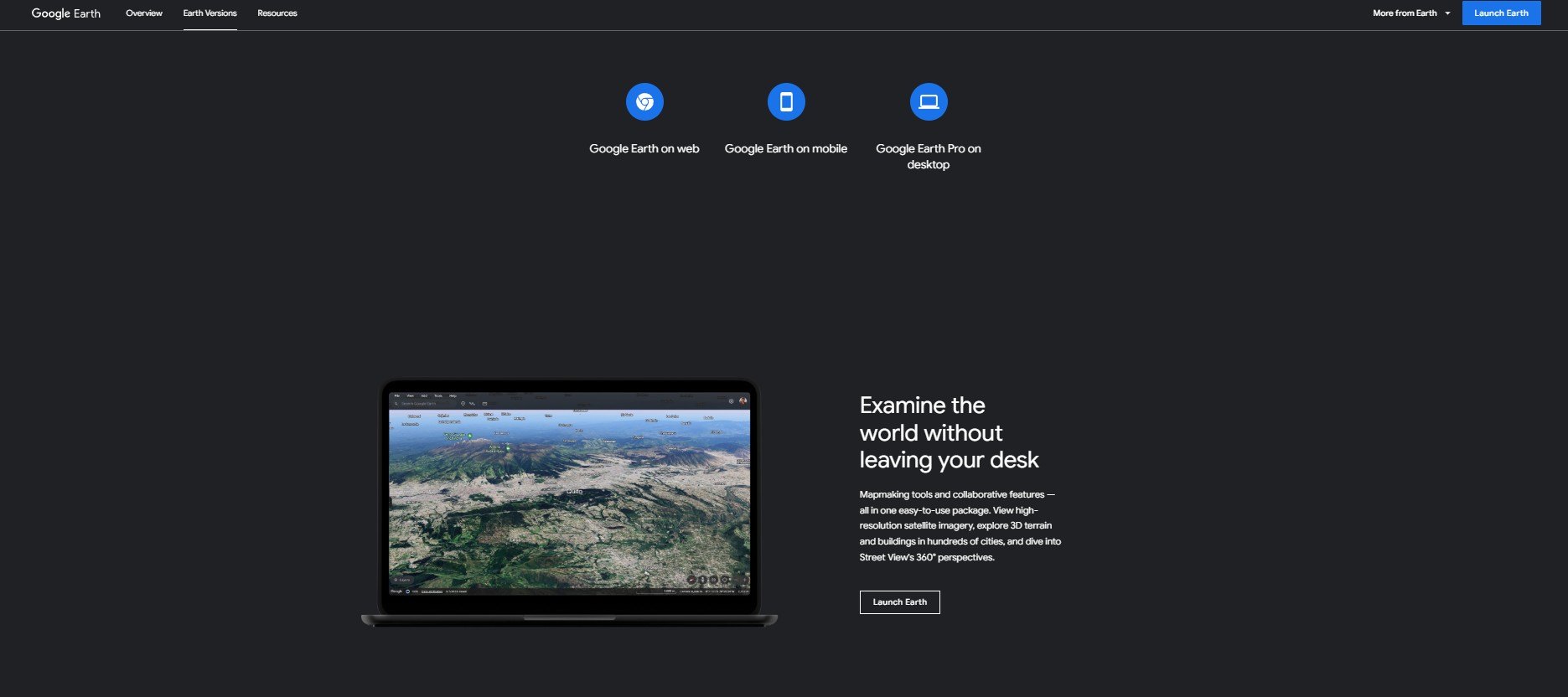
Google Earth Pro on Desktop brings the world to your fingertips with high-resolution satellite imagery, 3D terrain views, and powerful mapping tools. Whether you’re exploring distant landscapes, conducting research, or planning projects, Google Earth Pro provides an immersive and interactive experience.
Key Features:
- High-resolution satellite imagery for detailed exploration
- 3D terrain and building views in hundreds of cities
- Street View integration for 360° perspectives
- Advanced map-making and annotation tools
- Historical imagery to analyze past landscapes
- GIS data import and export capabilities
- Available on PC, Mac, and Linux
Best for:
- Researchers and geographers analyzing spatial data
- Urban planners and architects visualizing city structures
- Educators and students exploring geographic content
- Businesses needing detailed site analysis
- Travelers and enthusiasts discovering new places
- GIS professionals working with mapping tools
Price: Free to download and use.
Disclaimer: Please refer to the website for the most accurate and current pricing details and service offerings.

 Own or work here?