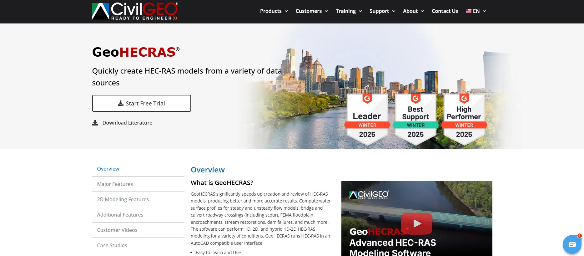
GeoHECRAS is the top-rated Civil Engineering Design Software, streamlining HEC-RAS modeling for faster, more accurate results. Designed for engineers, it simplifies floodplain analysis, dam failure modeling, bridge and culvert assessments, and more. With an intuitive AutoCAD-compatible interface, seamless GIS integration, and powerful automation, GeoHECRAS helps engineers create, review, and refine complex models with ease.
Key Features:
- AutoCAD, MicroStation & ESRI ArcGIS compatibility
- 1D, 2D, and hybrid 1D-2D HEC-RAS modeling
- Georeferencing tools for quick model alignment
- Digital terrain cross-section extraction
- Multi-project support with easy data transfer
- Seamless switching between 2D and 3D views
- Advanced floodplain encroachment and stream restoration analysis
Best for:
- Civil and environmental engineers
- Floodplain managers and hydrologists
- Urban planners and infrastructure designers
- Water resource professionals
- Government agencies and regulatory bodies
- Engineering firms handling hydraulic modeling
- University research and education
Price: Contact CivilGEO for pricing details.
Disclaimer: Please refer to the website for the most accurate and current pricing details and service offerings.

 Own or work here?